Environmental Monitoring
Monitor environmental change by querying across satellite imagery, sensor networks, and historical datasets. Surface trends, anomalies, and risks without manual analysis.
Lium processes hundreds of thousands of satellite records, compares multi-spectral signals against ground truth, and builds reusable measurement pipelines so every future analysis starts from what the last one already proved.
Lium processes hundreds of thousands of satellite records, compares multi-spectral signals against ground truth, and builds reusable measurement pipelines so every future analysis starts from what the last one already proved.
Geospatial datasets like satellite imagery, multi-spectral observations, ground station measurements, and environmental sensor networks are among the largest and most complex data sources. Experts need to ingest them at scale, connect them to ground truth observations, and build the reusable pipelines that turn one analysis into permanent organizational capability.
Get StartedLium processes geospatial and remote sensing data at full scale, connecting disparate sources, comparing signals against real-world measurements, and building reusable analytical tools that compound with every expert session. What begins as a one-time analysis becomes permanent infrastructure any agent or analyst can build on.
Start a free analysisMonitor environmental change by querying across satellite imagery, sensor networks, and historical datasets. Surface trends, anomalies, and risks without manual analysis.
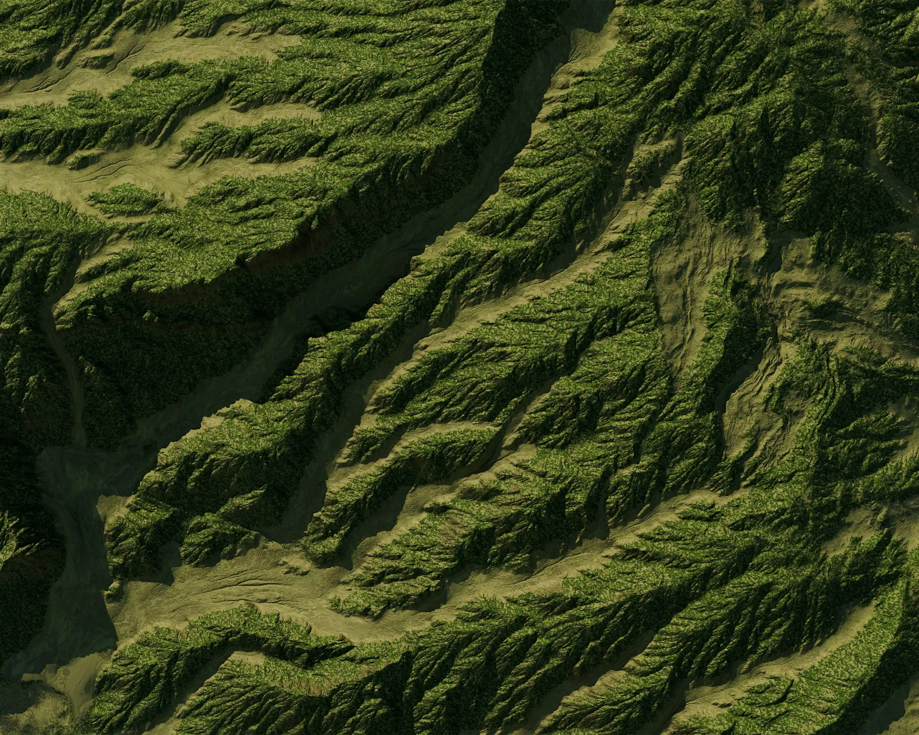
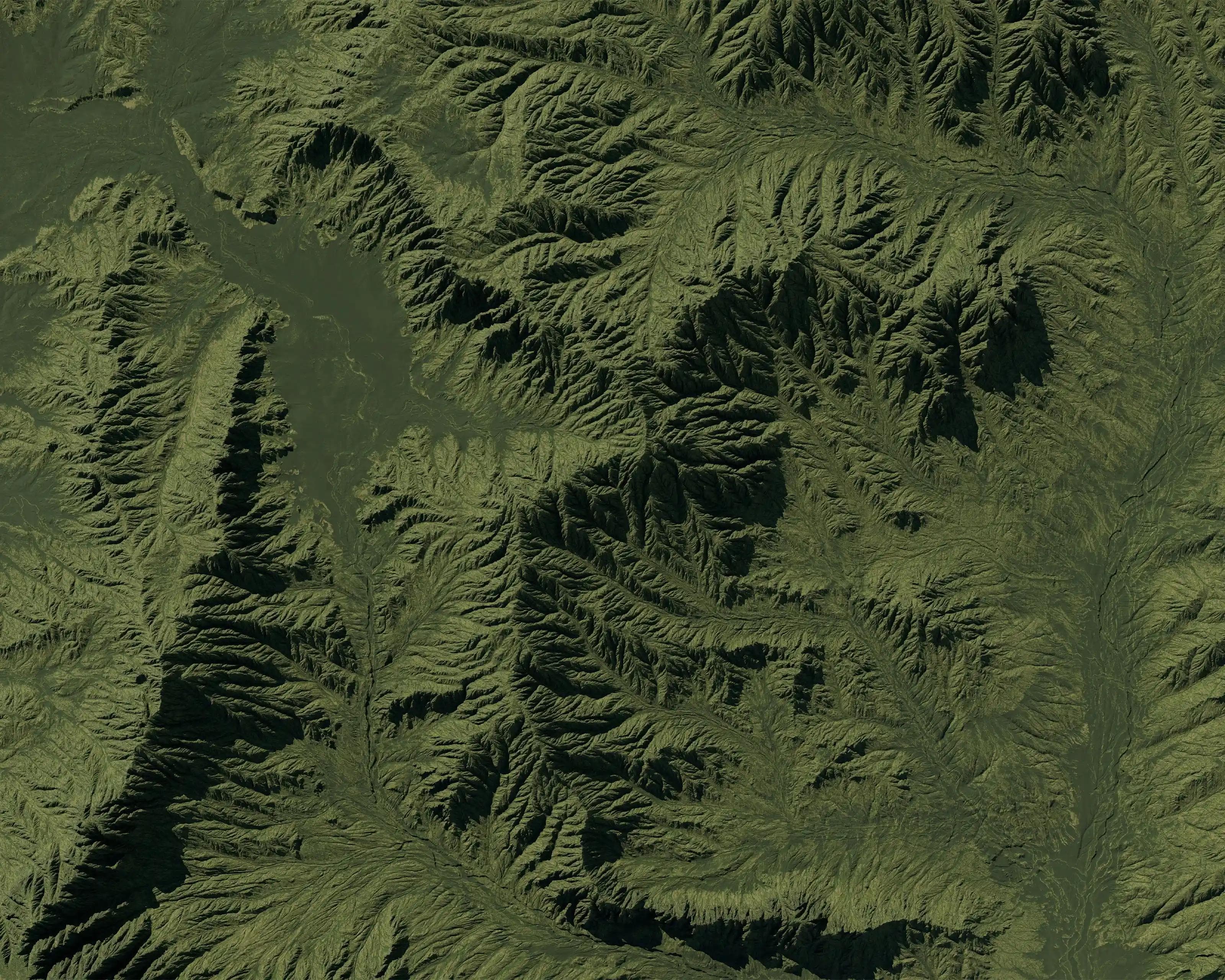
Track land use changes, deforestation, and vegetation health across regions. Analyze patterns over time to support conservation and resource management.

Query across ocean datasets including temperature, currents, and bathymetry. Uncover patterns that support research, conservation, and maritime operations.

Evaluate infrastructure, zoning constraints, and growth patterns by integrating spatial data into a single, decision-ready view.

Analyze real-time geospatial data during active events. Identify affected areas, assess damage, and guide response efforts with up-to-date insight.

Combine soil data, weather patterns, and satellite imagery to optimize planting, irrigation, and yield strategies at the field level.

Model climate impact scenarios using geospatial data. Identify vulnerabilities and inform long-term resilience strategies.

We do not train on customer data. Everything remains isolated and under your control.
Encryption, access controls, and secure infrastructure by default.
Granular permissions across teams and data.
Proprietary data, models, and workflows stay fully contained.
Clear visibility into how data is accessed and used.
Designed for environments where accuracy and security are critical.